
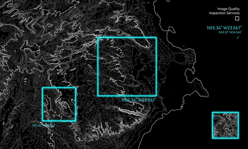
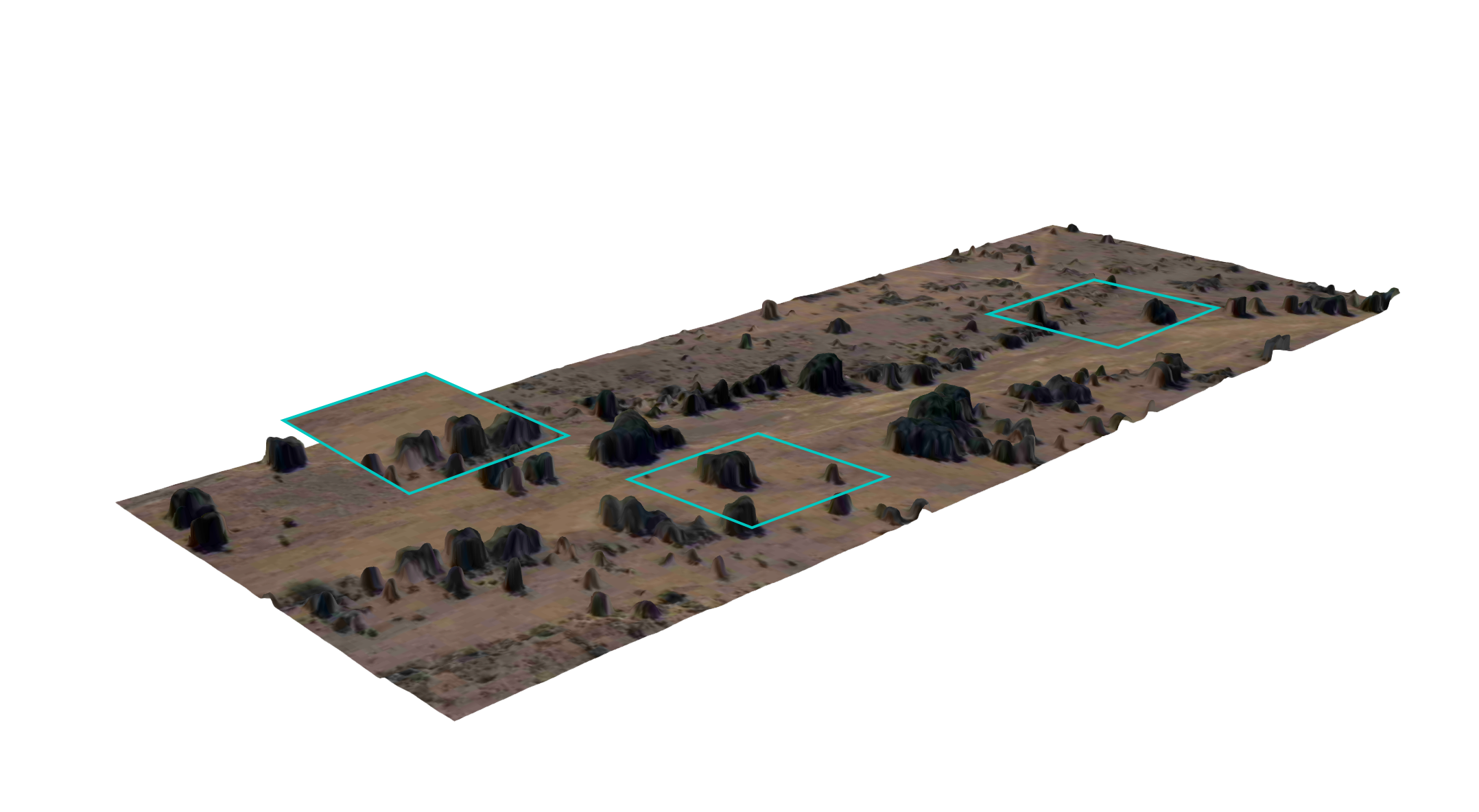
Establishing a comprehensive, high-precision quality inspection system to deliver premium image quality inspection services.

The company possesses mature annotation frameworks and tools to provide high-quality image annotation services.

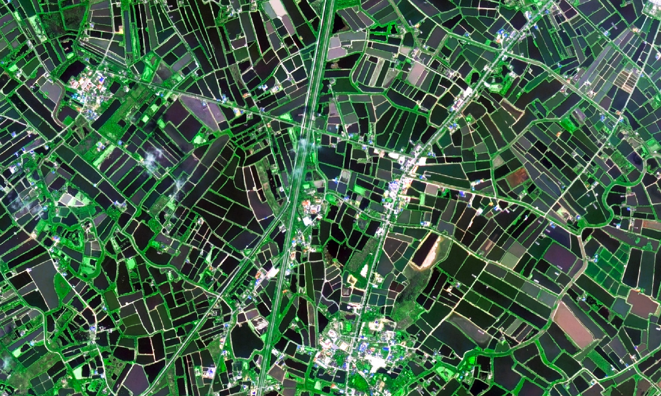
The company utilizes satellite remote sensing data to serve fields including oceans, agriculture and forestry,
water resources, environmental protection, transportation, natural resources, urban development, etc.
Primarily applied to farmland protection, crop monitoring,and rural living environment improvement.
Provides solutions for sea area and island management, vessel
supervision, and maritime emergency rescue.

Applied to data prediction for bulk commodities (e.g. crude
oil, coal, steel, non-ferrous metals), and urban economic analysis using nighttime
light data.

The company is a full-industry-chain commercial remote sensing satellite company integrating satellite R&D and manufacturing, operation management, and remote sensing information services. Currently, 117 "Jilin-1" satellites operate in orbit, forming the world’s largest sub-meter optical remote sensing satellite constellation. It achieves revisiting any location worldwide within 10 minutes, enabling 6 global coverages per year and full coverage of China (the country) once every half month.
Relying on core technology accumulation in satellite platforms and space optical payloads, the company provides customers with customized satellite manufacturing and related services, including:
• Satellite systems and components
• Testing and validation services
• Rideshare launch services
• Satellite naming rights
• Comprehensive in-orbit constellation delivery support